
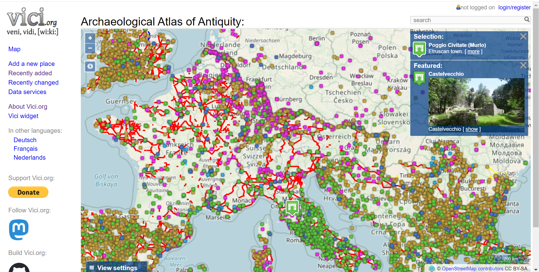
I don’t know how I missed the amazing site vici.org which offers an excellent interactive map of archeological sites. It’s easy to spend hours down the rabbit hole exploring the thousands of locations with significant ancient buildings or ruins. Most of the historically important sites on the map are in Europe, North Africa, or the Middle East.
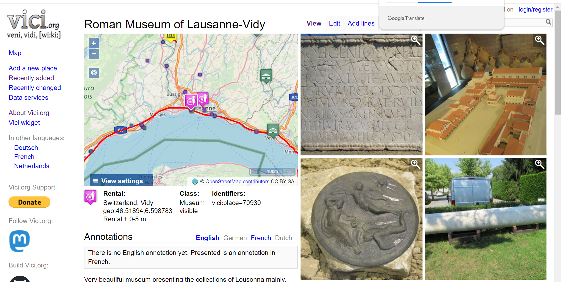
One of the places that I discovered on vici.org was a Roman Museum near Lausanne, Switzerland. Many decades ago, I was staying in a hostel near Lausanne and literally stumbled on the Roman ruins in a field long before the museum was built.
“Vici.org is the archaeological atlas of classical antiquity. It is a community driven archaeological map, inspired by and modelled after Wikipedia.
The first version of Vici.org went online in May 2012. It was preceded by a sister website Omnesviae.org, a roman routeplanner based on the Peutinger map. Since its start, Vici.org has grown a lot. At the time to this writing, over 140 contributors have added nearly 20,000 locations, approximately 1,000 line tracings and over 3,000 images.
Open Data
Similar to Wikipedia, all written content is available for reuse using the Creative Commons Attribution-ShareAlike-license. Metadata is available using the CC0 / Public Domain dedication. Images or line tracings may be available under other licenses. Vici.org invites everyone to participate and share their knowledge of classical antiquity. Vici.org does provide various services to reuse this shared knowledge, through various dataservices or by using the Vici widget.”

