
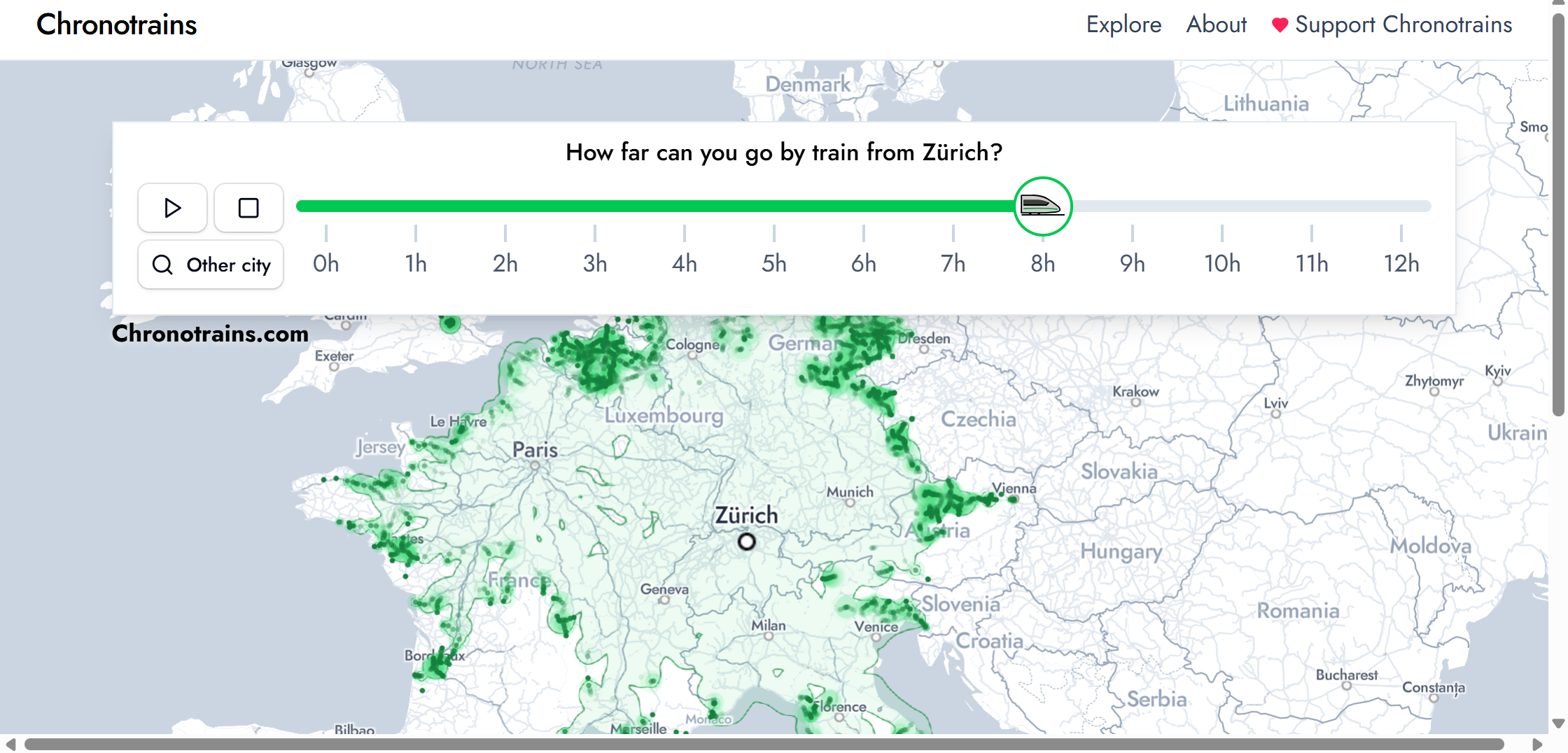
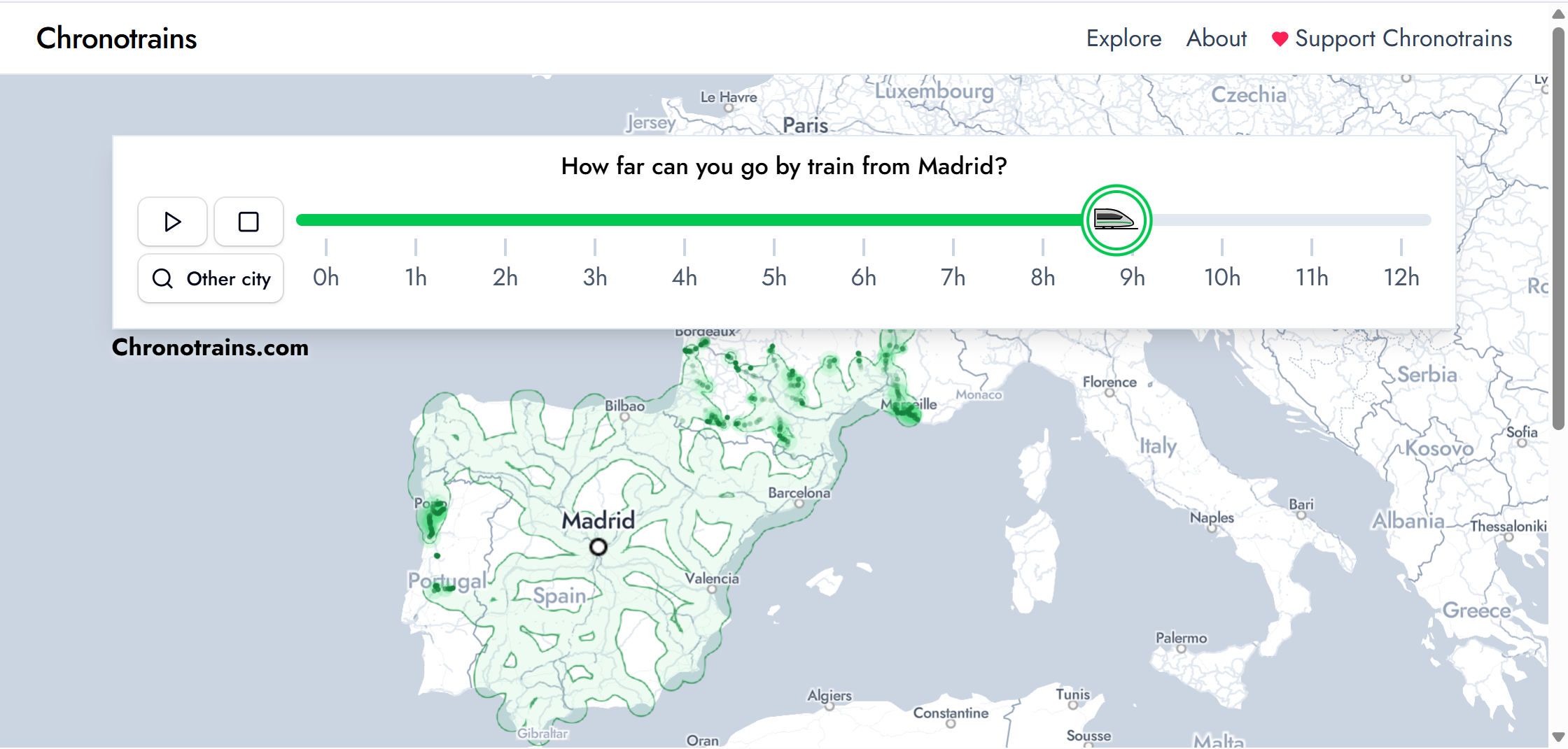
The new Chronotrains – Europe Train Map allows you to select any city in Europe and view an animated isochrone layer show you how far you can travel by train over the course of 12 hours. As the timeline plays, the isochrone polygons steadily spread out from your chosen station, illustrating all the destinations you can reach within an ever-increasing travel window.
Of course, the main Chronotrains map is packed with even more useful features. In addition to showing how far you can travel within a chosen time period from any European station, it also lets you explore all the night train departures across Europe, view every direct destination available from a given station, and even access links to book train tickets.

