
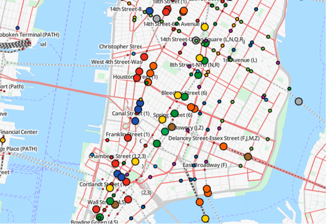
You don’t need to be a complete public transit or map fan to geek out on the new TRAVIC website created by students at the University of Freiburg in Germany—but it helps. TRAVIC, which is short for Transit Visualization Client, tracks the movement of hundreds of public transportation systems worldwide. Each map uses colored dots to visualize the movement of buses, trams, trains, and even ferries on networks in real time based on data from the public transportation systems. Handy for travelers and for commuters too.


Reblogged this on mariapapageorgiou30.