
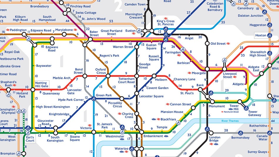
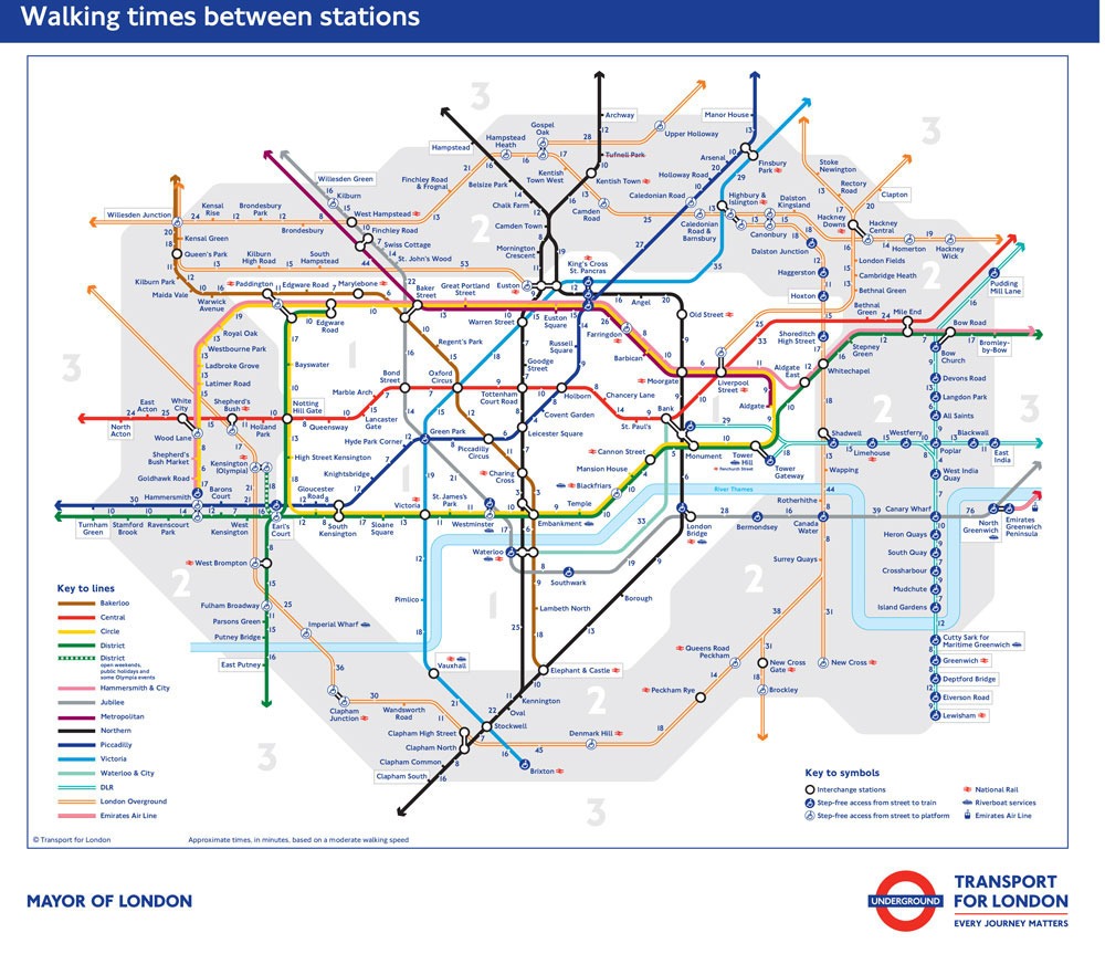
 Many years ago, on my second or third visit to London it finally dawned on me that it was often much quicker to walk to some locations than to take the Underground. Now Transport for London has finally created the first official Tube map showing the walking times between nearly all of the stations in the network. The clever map will be a real boon for confused tourists who often misjudge the distances between London’s tourist attractions. Now they can make more efficient use of their limited time and maybe even get to know the city a little better.
You can access a pdf version of the full map here..
images: ©TFL


Good idea! I hate the tube and always walk if I can (well, I would, wouldn’t I? 🙂 🙂 )
Reblogged this on Voronwe Aranwion.
Pingback: London Walkabout | Crazy Little Redneck Goth