
I don’t know about you, but I seem to use Google Maps almost daily. It’s hard to imagine traveling without it any more. Now Google Maps is adding a novel way to navigate cities in the form of highly detailed digital models that look like 3D films. Here’s how “Immersive View” is described by Google’s VP of Maps on the Google Blog:
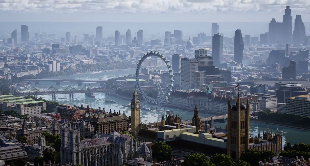
Thanks to advances in computer vision and AI that allow us to fuse together billions of Street View and aerial images to create a rich, digital model of the world — we’re introducing a whole new way to explore with Maps. With our new immersive view, you’ll be able to experience what a neighborhood, landmark, restaurant or popular venue is like — and even feel like you’re right there before you ever set foot inside. So whether you’re traveling somewhere new or scoping out hidden local gems, immersive view will help you make the most informed decisions before you go.
The first cities to get the simulation view will be Los Angeles, London, New York, San Francisco, and Tokyo. Check it out in the very cool short video below:
NB: If the video clip does not appear in your subscription version of TBTP, please visit the home page here.

