
One of the biggest mistakes that visitors to New York City can make is choosing to stay in the wrong neighborhood. Although the city has a great public transit system, it can be slow, confusing, and quite inconvenient.
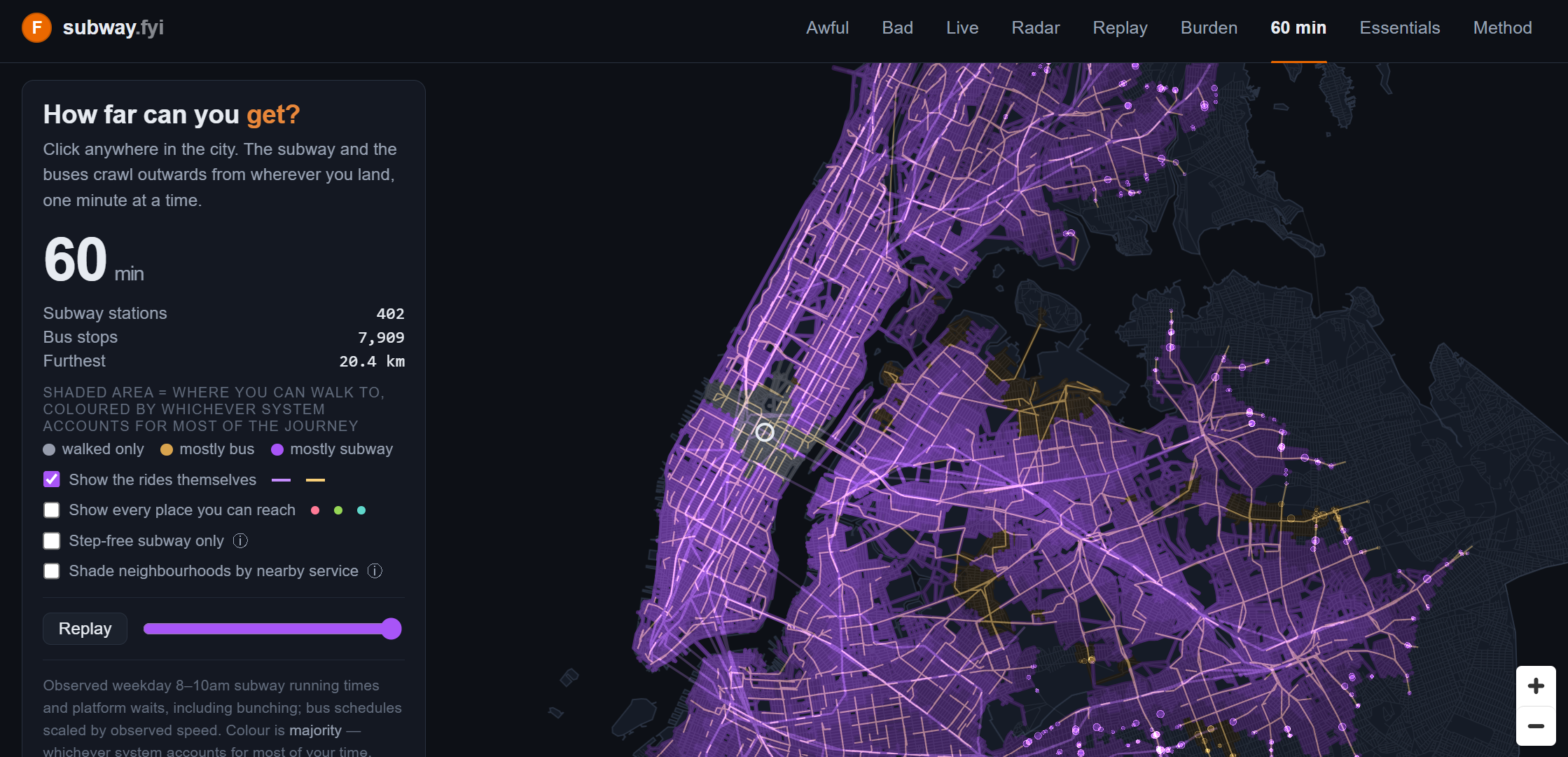
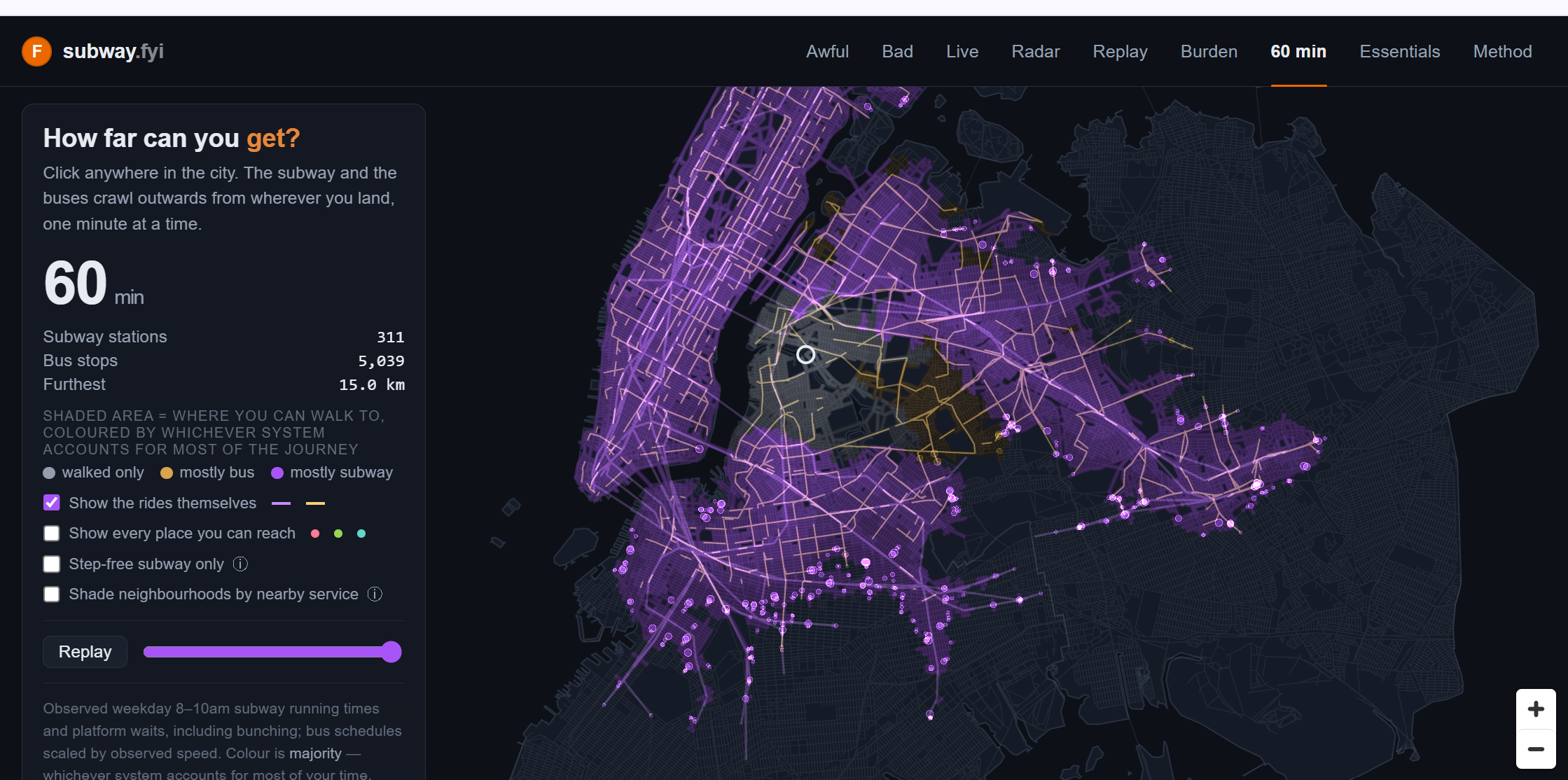
The very attractive and cool website Subway FYI shows a map of New York City which lets you click anywhere to see how far you can travel using public transportation within 60 minutes.. Clicking starts the timer going – as the minutes tick up, so you can see the extending reach spread out across the city, offering you a neat visual representation of how well-connected any part of NYC is and how much of a pain it will be to stay in the wrong Zip code while you’re there.


 Travel Between The Pages