
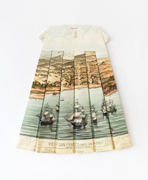
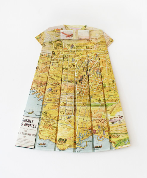
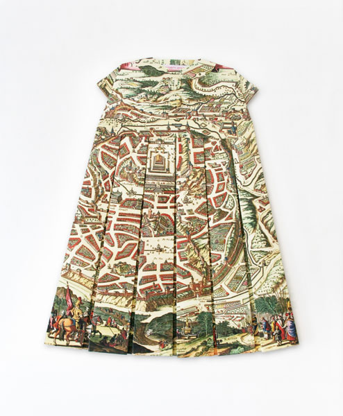
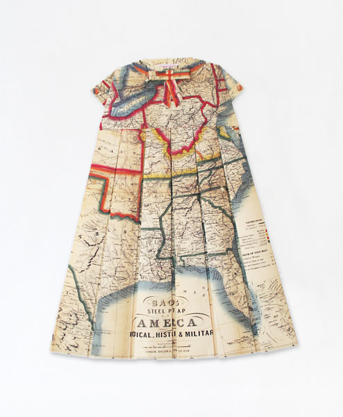
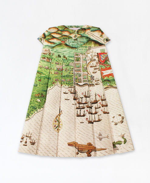
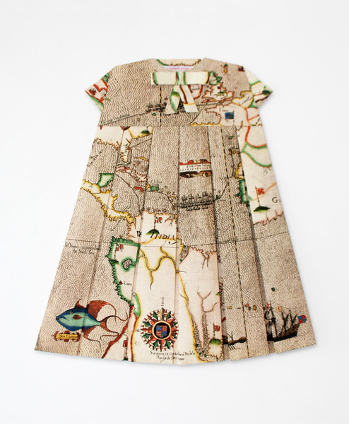
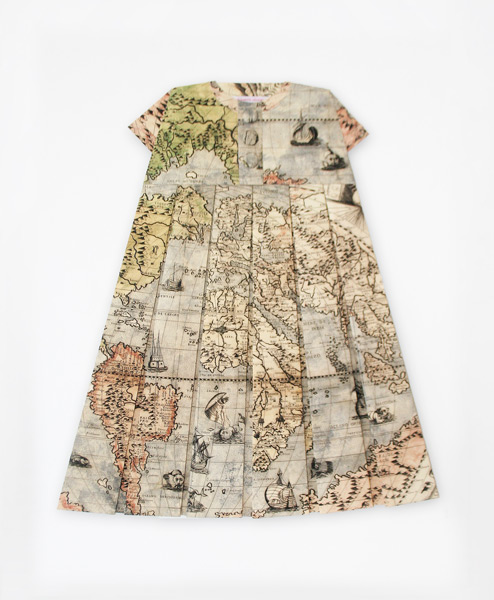
We have featured diverse and miscellaneous maps and cartographic forms, but this is probably the most fashionable use of maps to date. London-based artist and designer Elisabeth Lecourt painstakingly created her marvelous series titled “Les robes géographiques” from prints of historical maps from the 15th through 20th centuries. The pieces range widely from examples of a 17th century Jerusalem map to a 19th century railway map of the United States to a wonderful 1930s map of Los Angeles. All of her work is available on her website .


all images © elisabeth lecourt
Related articles
- A new brand of cartographer (flowingdata.com)
- Beautiful interactive map illustrates every underwater internet cable (theverge.com)


How extremely clever! I love maps.