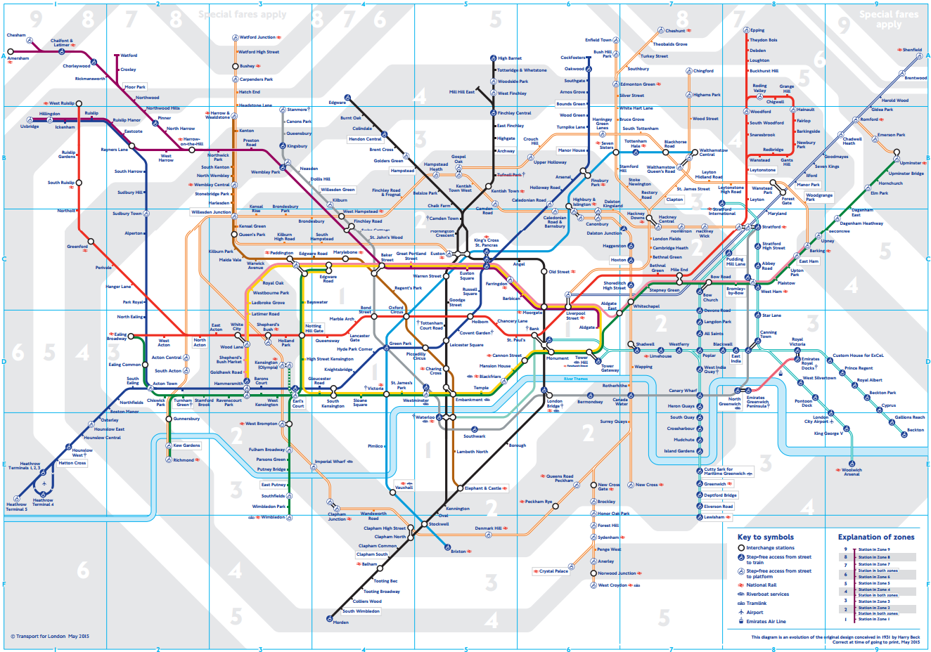
I love a good map, especially a cleverly designed useful transit network map. And, of course one of my favorites is the Harry Beck design classic London Tube map, with its clear cartography, straight lines and 45-degree rounded corners. But now it appears that Transport for London has been hiding a secret version of the tube map that shows a more real world version of the system.
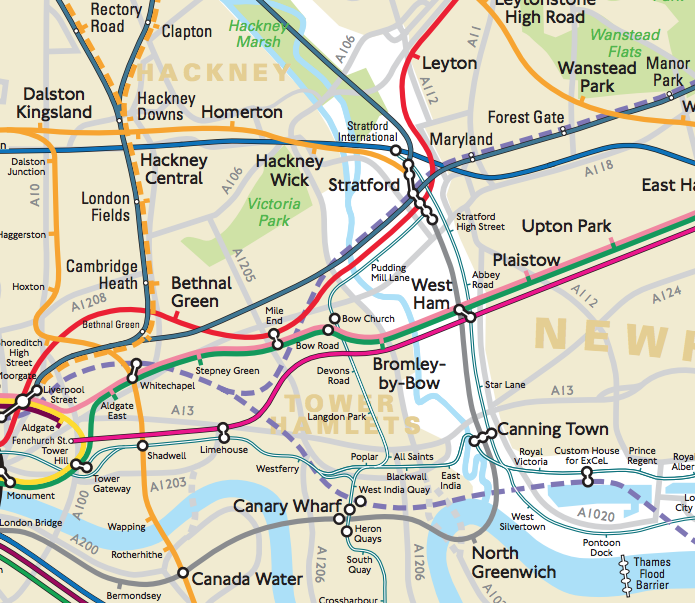
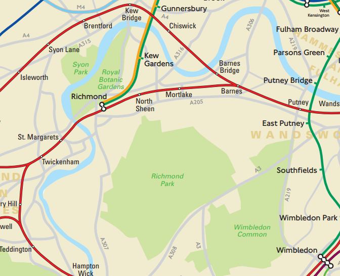
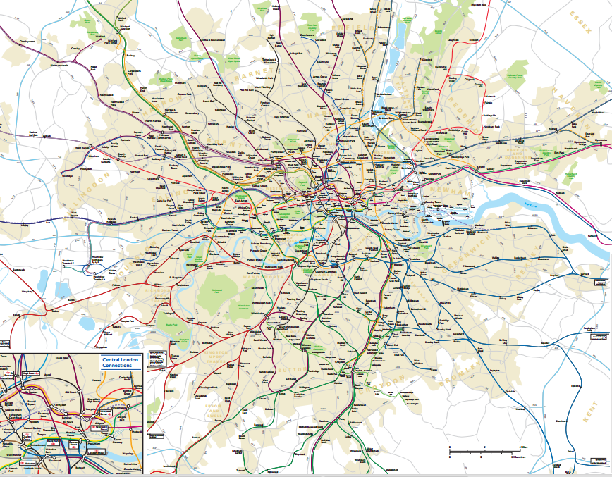
The TfL London Connections Map, which wasn’t available until a Freedom of Information request, reveals the network overlaying main roads, rivers, parks, and boroughs. This version makes it much easier for visitors to London to estimate distances to sights and journey lengths. You can explore—and download—an excellent pdf version of the “secret” map at this website.