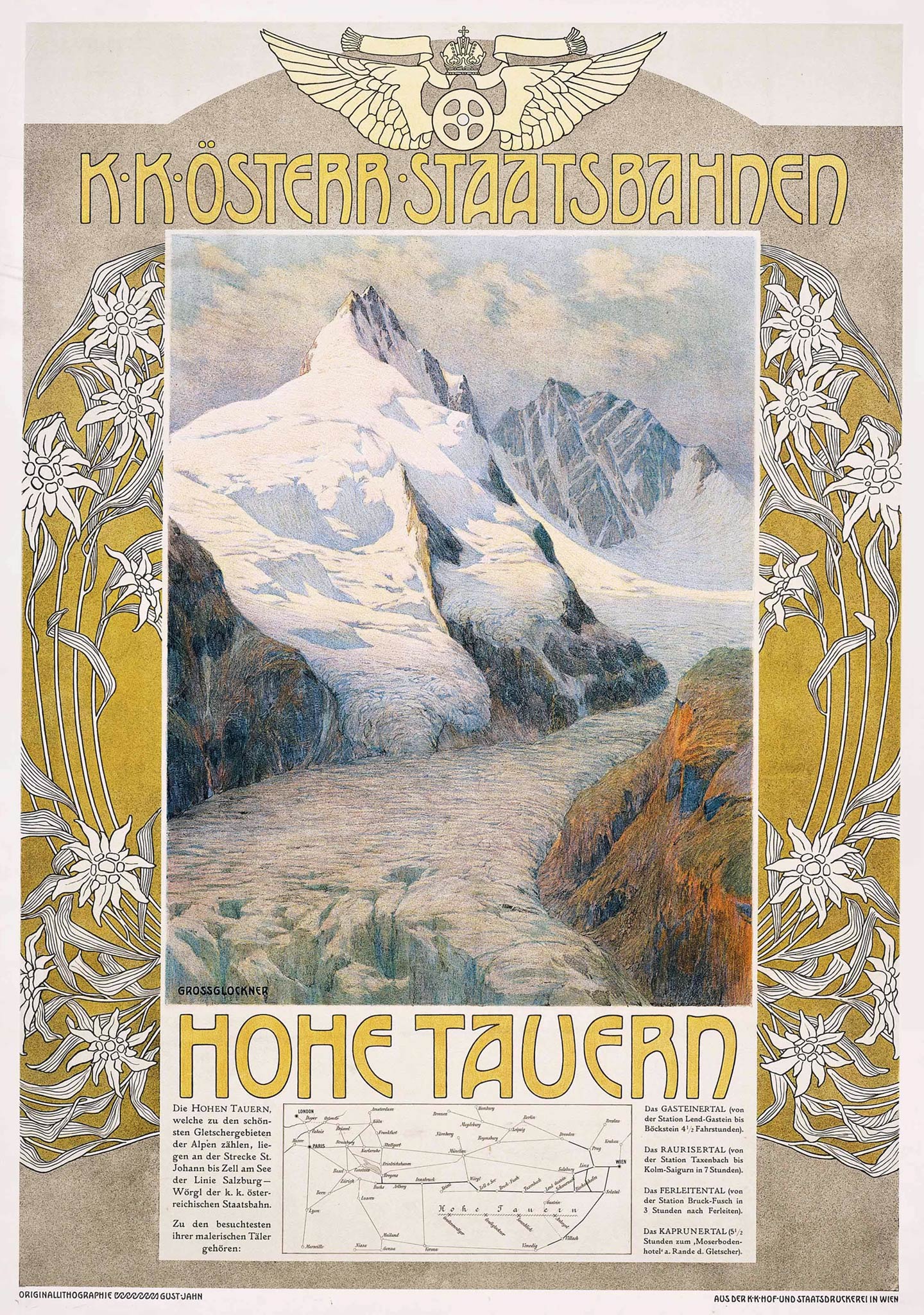
Throughout the 20th century European railway companies often incorporated route maps on their advertising posters. Due to size and design limitations, the cartographers involved in the map production often created distorted and geographically confusing maps. Still, the posters were attractive and helped rail passengers to visualize routes.