

Sometimes web surfing serendipity ticks all of the boxes. Regular readers are au fait with my life-long love of cartography, my near obsession with historic travel guides, and my background as an erstwhile history teacher, so you won’t be too surprised that this website is in my wheelhouse.
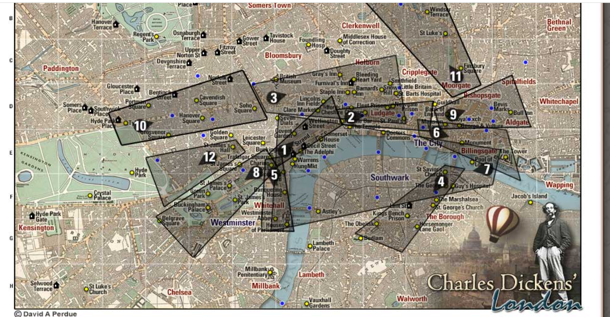
The Charles Dickens Page allows you to view a number of bird’s eye views of London neighborhoods, as captured by Thomas Sulman in the 1880’s. These maps were originally published in 1886, in a London guidebook by Herbert Fry.
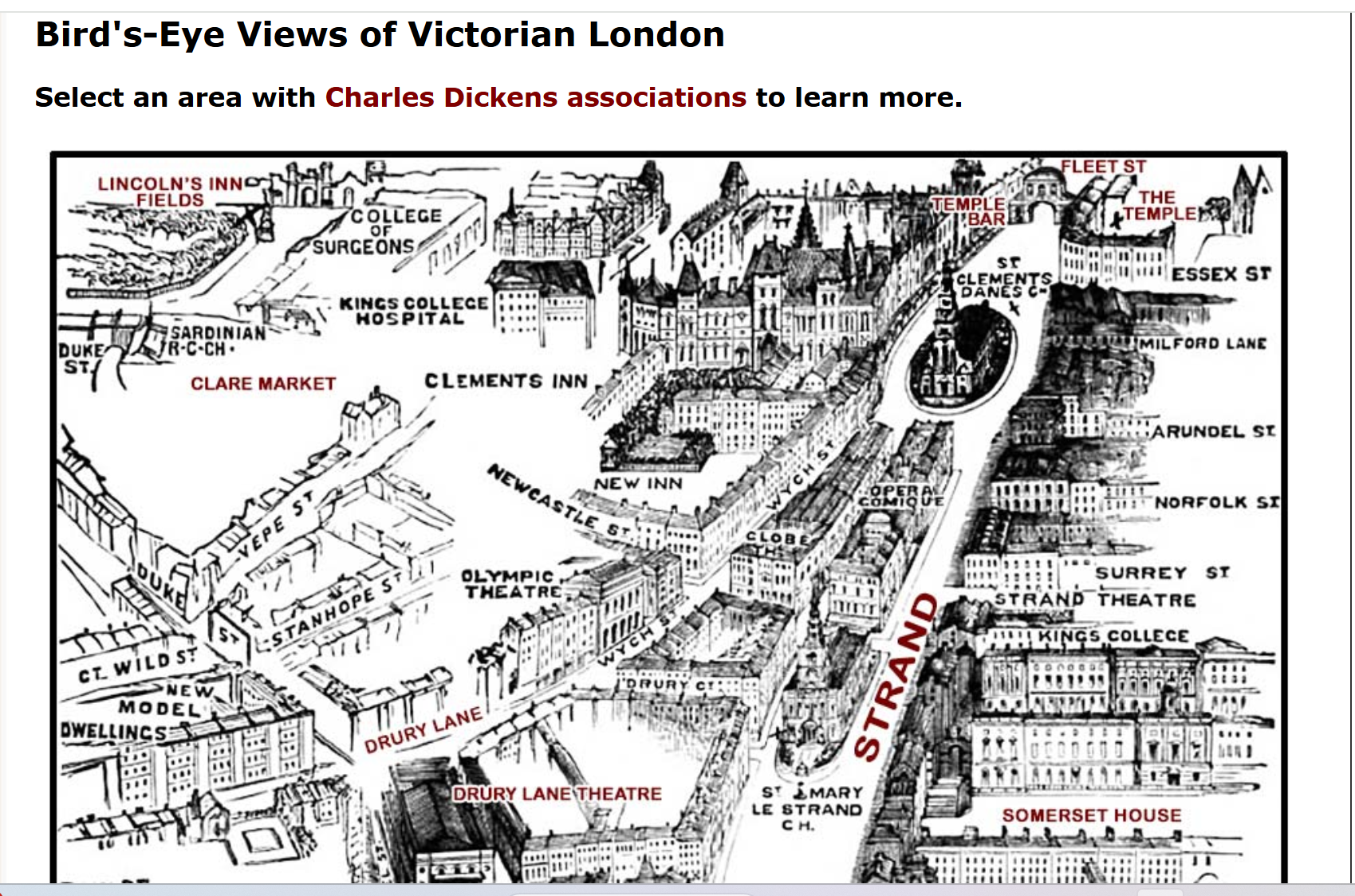
The maps on the Charles Dickens page include some interactive place-name labels, which can be clicked on to learn more about the most important buildings and streets displayed. Some of the maps have also been digitally altered to enhance certain features and to ‘align the images with Dickens’ lifetime’.

