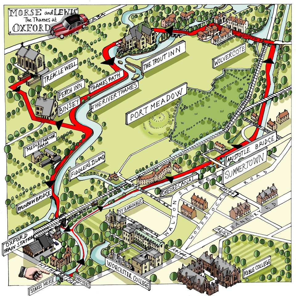
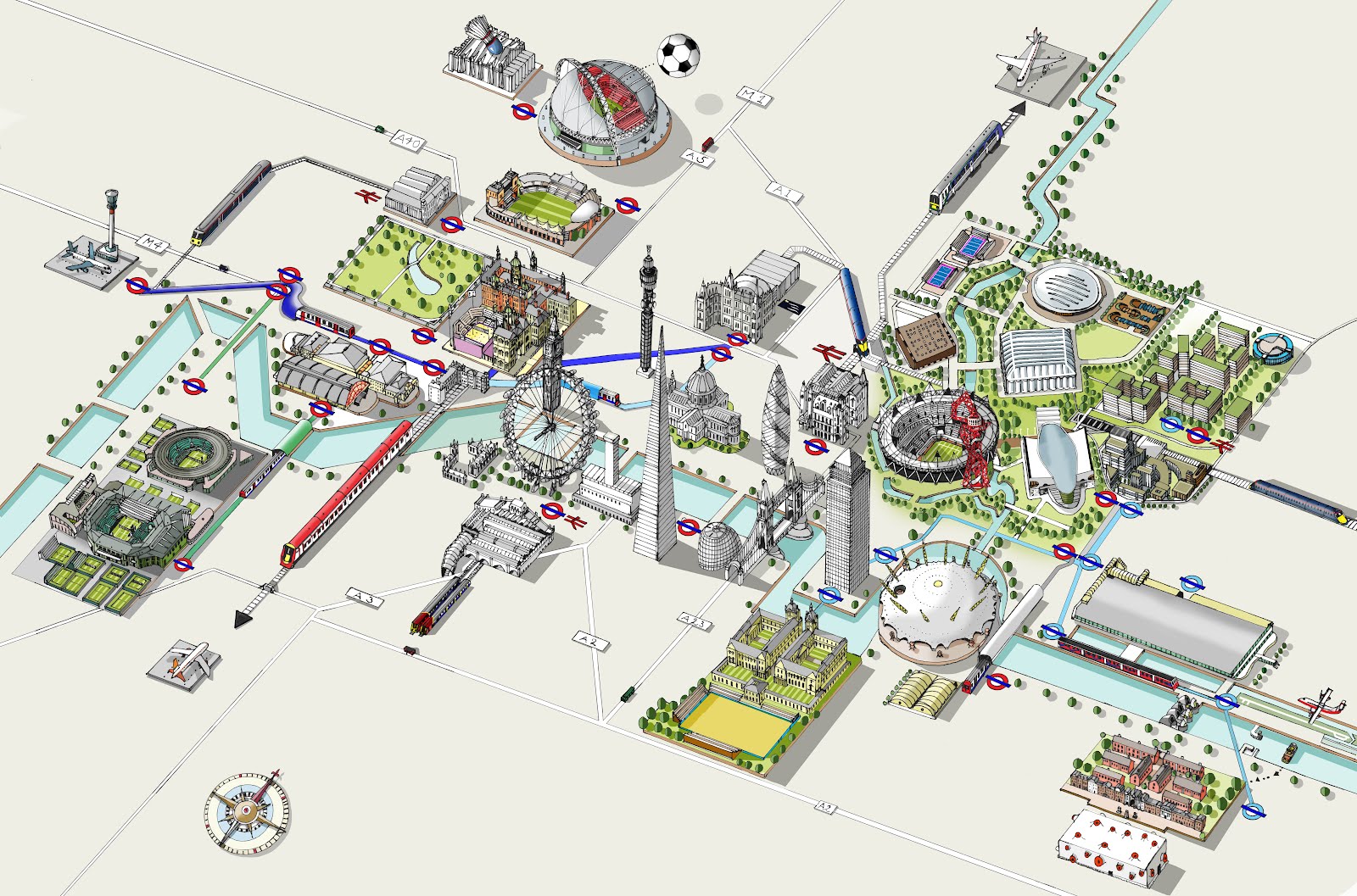
Once again the serendipitous randomness of the internet pointed me in the direction of an extraordinary artist/cartographer. Searching for local maps in the Canadian Yukon, I stumbled across the wonderful illustrated maps by London-based artist Katherine Baxter. You might opt for Google Maps when traveling, but you can’t top these aerial view, pictorial maps for shear fun. Take a look and be sure to visit Baxter’s website and Facebook page then consider purchasing a poster version here if you enjoy what you see.