
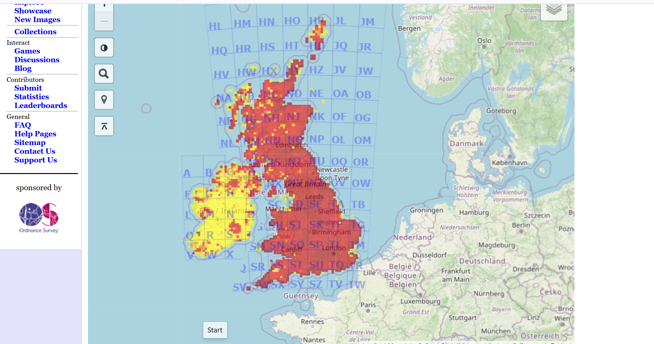
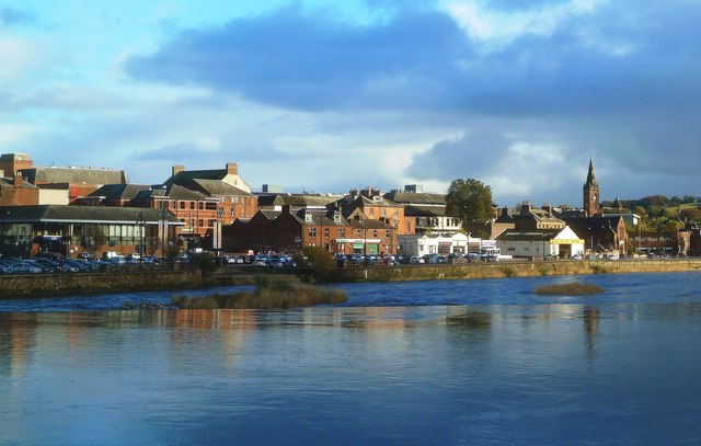
Geograph: You don’t have to be an Anglophile to get lost in this wonderful project. It’s a bit like like Google maps, but crowdsourced – “The Geograph® Britain and Ireland project aims to collect geographically representative photographs and information for every square kilometre of Great Britain and Ireland, and you can be part of it. Since 2005, 14,132 contributors have submitted 8,254,695 images covering 283,417 grid squares, or 85.3% of the total squares.”
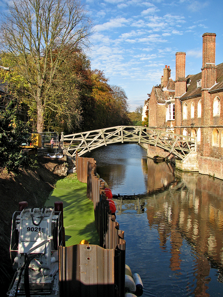
What a terrific collaborative work, and how wonderful that people have responded enthusiastically. The website offers a fascinating glimpse of changing British geographies – depending on where you explore, there are photos from across the past 20 years which offers an amazing temporal patchwork of Britain .


Thanks! I’m in. I’ve just registered.
Loving this!